Source-backed lead
Key takeaways
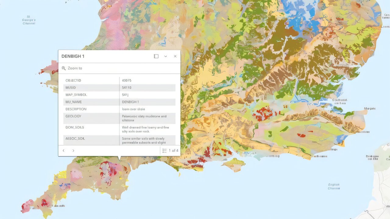
- The database contains over 30,000 soil samples and 250,000 observations.
- It is hosted on Cranfield University’s LandISPortal and freely accessible to all users.
- The initiative supports sustainable land management and combats soil degradation.
- The data enhances transparency for improved policy-making and environmental research.
- This project aligns with the UK’s goals for soil health, food security, and climate resilience.
What happened
What the source actually says
Why it matters
Numbers, dates, and hard facts
- Contains data from over 30,000 soil samples.
- Includes approximately 250,000 soil observations.
- Data is freely accessible to the public, supporting agriculture, urban planning, and environmental research.
- Aims to combat soil degradation and promote sustainable land use across the UK.
- Supports government goals related to soil health, food security, and climate resilience.
- Enhances transparency to improve policy-making and scientific research decisions.
What to watch next
Global Digests News delivers timely, credible coverage of world affairs, politics, economy, and technology to keep you informed on today’s top stories.

Bohmian Mechanics: Revisiting Quantum Determinism After New Tests
Bohmian mechanics, once sidelined, returned to focus after a 2025 photon tunneling experiment tested its deterministic claims. The results…

Dark Matter Detection: Innovations Inspired by Henry Cavendish's Experiment
A modern take on Henry Cavendish’s 18th-century torsion balance proposes nested metal shells and ultra-sensitive voltage measurements to de…

Greenland’s Ice Melt Surges Since 1990
Greenland’s ice melt has accelerated sixfold since 1990, driven mainly by rising temperatures rather than atmospheric shifts. Extreme melt…

Health Insurance Marketplaces Leak Sensitive Data to Ad Tech Giants
Nearly all U.S. state health insurance marketplaces have exposed sensitive applicant data—including citizenship and race—to major ad tech f…

Instagram’s Voluntary AI Creator Label: A Tentative Step Toward Transparency
Instagram has launched an optional “AI creator” label for posts generated or altered by AI. Without automated detection, the system relies…

Uber’s Ambitious Expansion and Innovation
Uber CEO Dara Khosrowshahi lays out a vision to transform Uber into a travel and service platform. By integrating Expedia hotel bookings an…
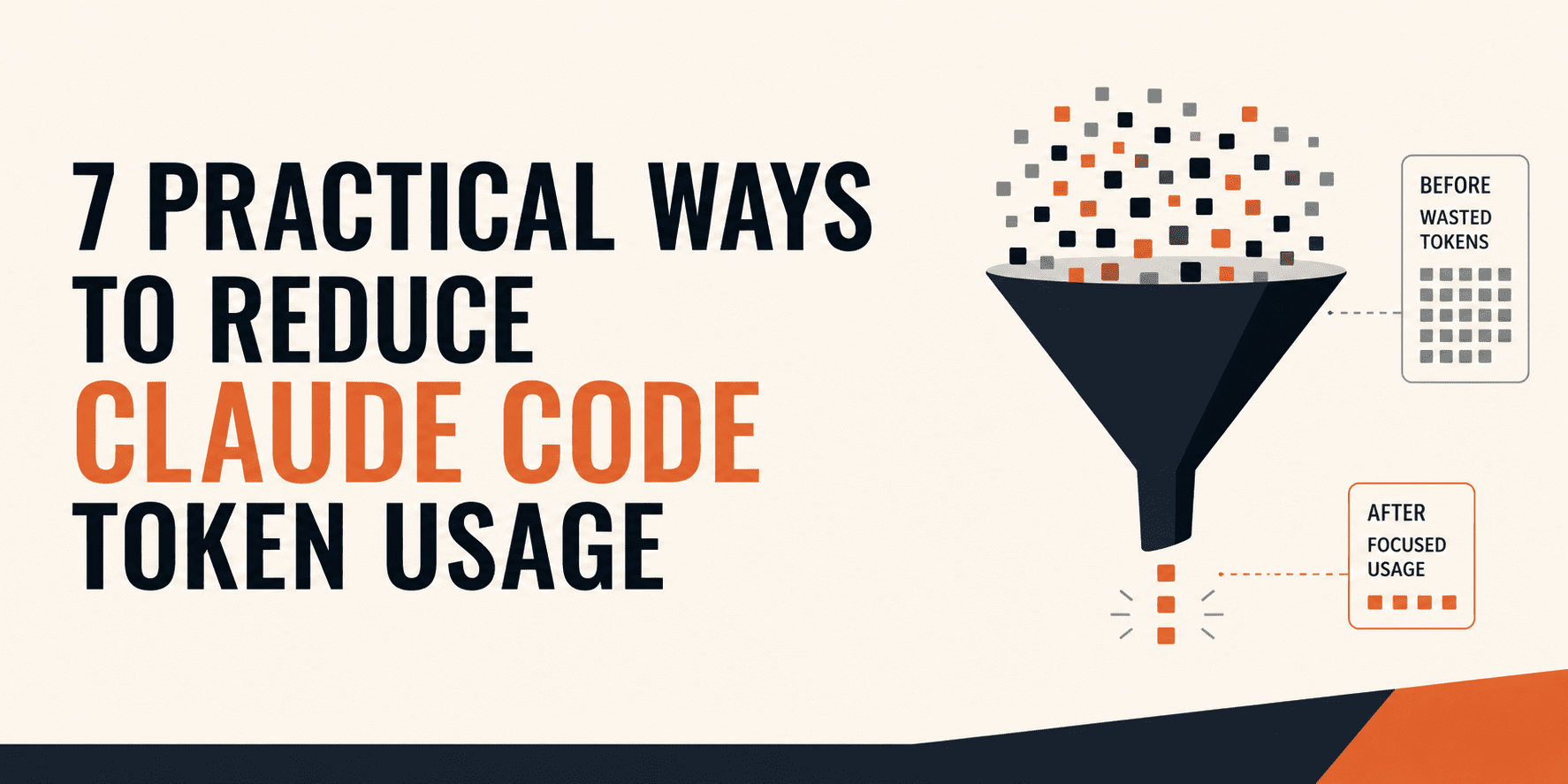
Claude Code Cost Control: Context Architecture Over Prompt Optimization
Claude Code’s costs stem less from prompt length and more from accumulated context—files, memory, and tool outputs that build up each sessi…

Leonardo da Vinci’s DNA May Finally Be Decoded
Researchers have mapped a 21-generation paternal lineage from 1331 to today, identifying 15 living male descendants of Leonardo da Vinci. G…